
 St John’s Church in Crawshawbooth lays derelict, slowly deteriorating since lead from the roof was stolen some years ago. The Churches Conservation Trust have been trying to find a buyer and it’s possible that their plans will soon come to fruition.
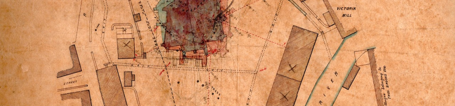
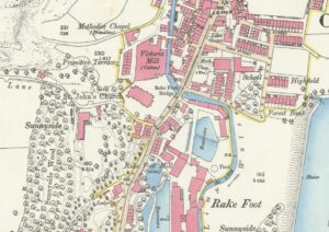
South Pennine Archaeology Group (SPAG) were asked unofficially to try to make sense of the several goits (water courses) shown on the 1888 plans for the proposed new church, a task which seemed extremely interesting. Firstly, we examined the 1849 OS map which clearly showed a mill lodge (reservoir) fed by a stream which appeared to be culverted close to the lodge. The 1893 map shows the church exactly where the water had been with the stream diverted to the West before feeding into Limey Water.
On a cold February day, two members visited the site to try to understand how the plan, the maps and the physical evidence corresponded. With a particular interest in industrial heritage we were fascinated by the goits and nearby weaving shed and Victoria Mill (long since gone), in addition to several smaller building located in the grounds of the proposed church.
 Why were there so many goits in the grounds of the church? Were they moving water to some of the buildings still showing on the plan? Was there a water wheel or was water required for other industrial uses?
The railings to the West of the church are extremely low running parallel to the diverted stream. Pinner Lane appears to almost act as a watercourse in bad weather but the bridge from Sunnyside is still extant.
Finally, the penny dropped! The railings were low because the stream bank had been raised to reduce the risk of flooding in bad weather and the goits are storm culverts for the same reason. So, nothing to do with industry at all. That’s the danger of preconceived ideas but all in all an interesting little project!