Rochdale to Burnley Turnpike Trust: A671 Rossendale section

Recorded March 2026

An Act of Parliament in 1754 allowed for the improvement and creation of a turnpike road from Rochdale to Burnley which was in fact the first turnpike in Rossendale.  Few of the primary structures and artefacts that originated during its construction remain and those that do, have often been altered.

Two of our members – Frances Bland and Chris Ainsworth – have put together an in depth look at the route which includes features that have not been included in the primary list but are still of interest in their own right.  A copy can be downloaded here.

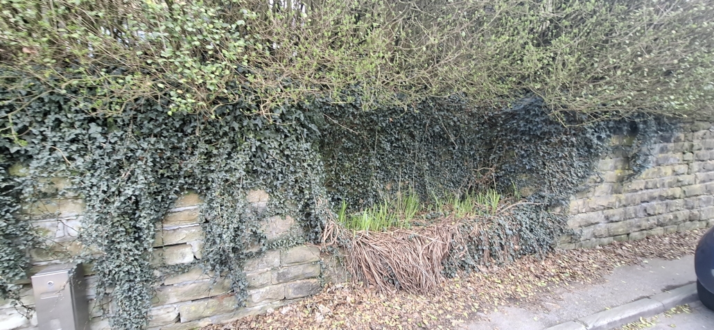
1 Well SD 88147 16440 Opposite The Birches Inn – Trough very overgrown with ivy front.solved.client
2 Site of Whitworth TP SD 88409 17338 No Trace, but side street appropriately named Bar Terrace! yappy.learns.sling
3 Well SD 88838 19167 Opposite Half Way House – Trough now situated within  more modern walling tribe.fights.foremost
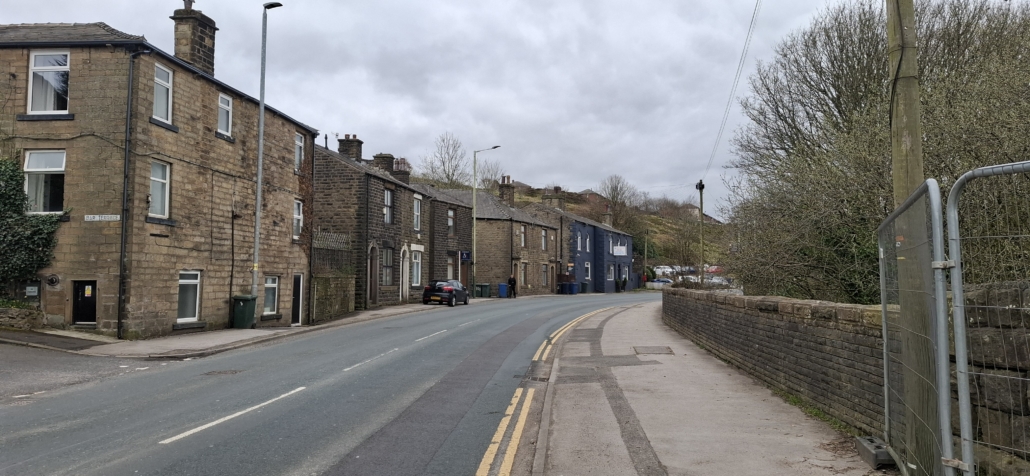
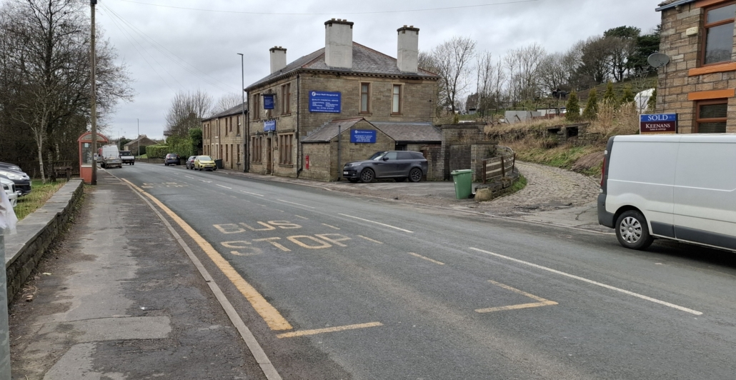
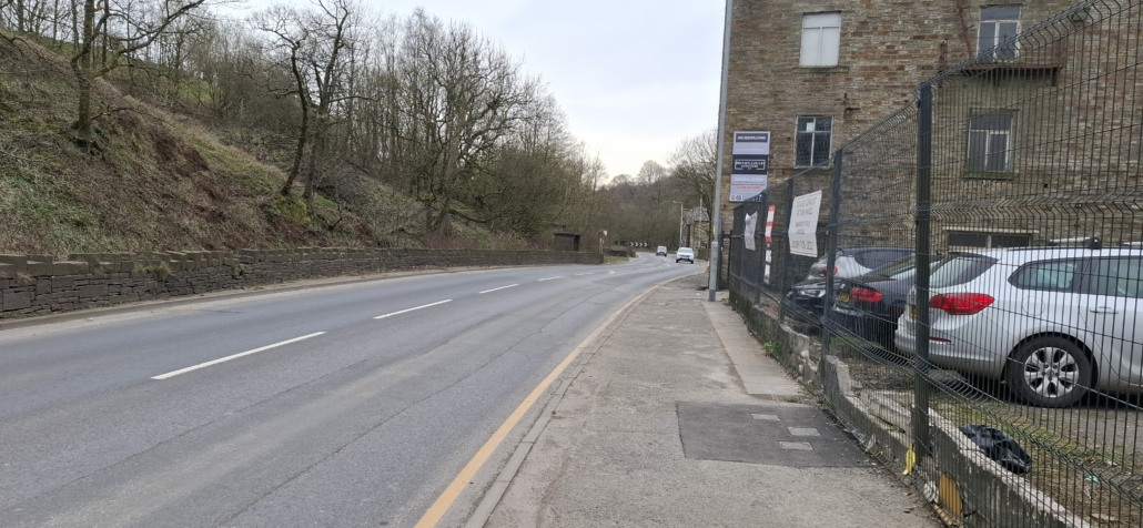
4 Site of Leavengreave TP SD 88770 19474 No trace, but definitely the correct place on border of Whitworth. see photo threaten.rationed.awards
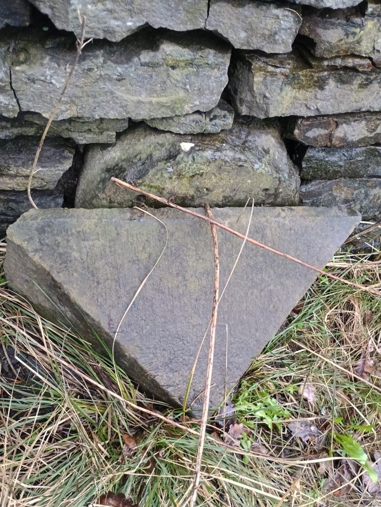
5 Milestone SD 88817 19307 Milestone with rounded top is at the back of the slightly more modern triangular topped one. Not able to discern any writing but it should say Bacup 3, Rochdale 4. The Milestone Society list them both bubble.cheeks.nicknames
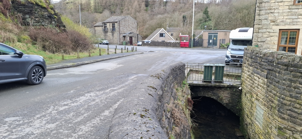
6 Shawforth New Bridge SD 89142 20285 This is a skew bridge afraid.sampling.onlookers
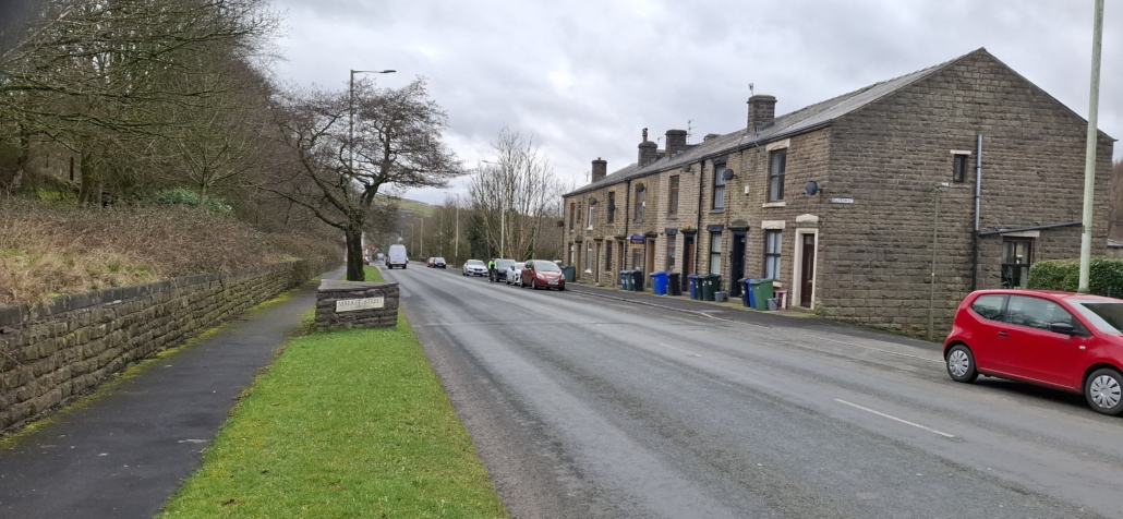
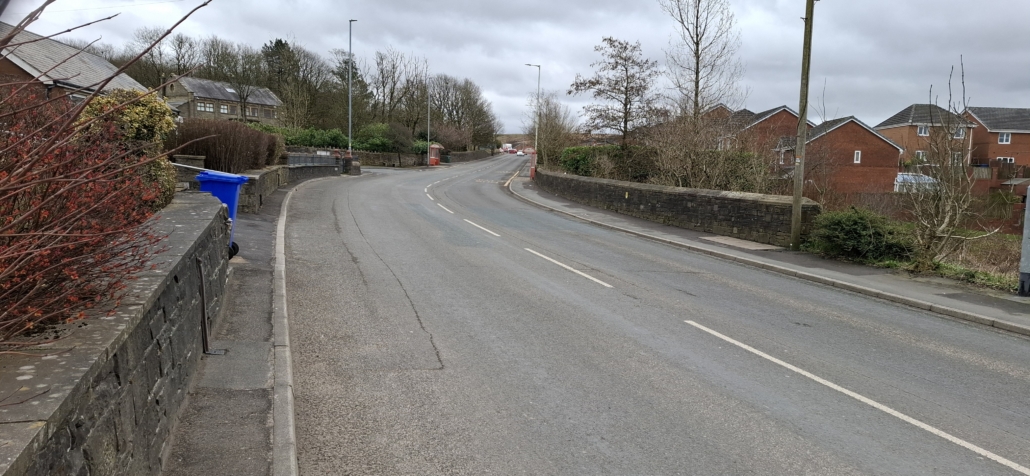
7 Site of Troughgate TB SD 88560 21449 No Trace. Hennets map of 1828 and original plan show a TB here at the junction with Trough Gate Lane (not at Rockliffe like the 1839 and 1844 maps show), see photo gladiators.widget.dignify
8 Bridge SD 87512 22001 Bridge over Sheep House Clough near Castleton View, Bacup wisdom.encoding.wand
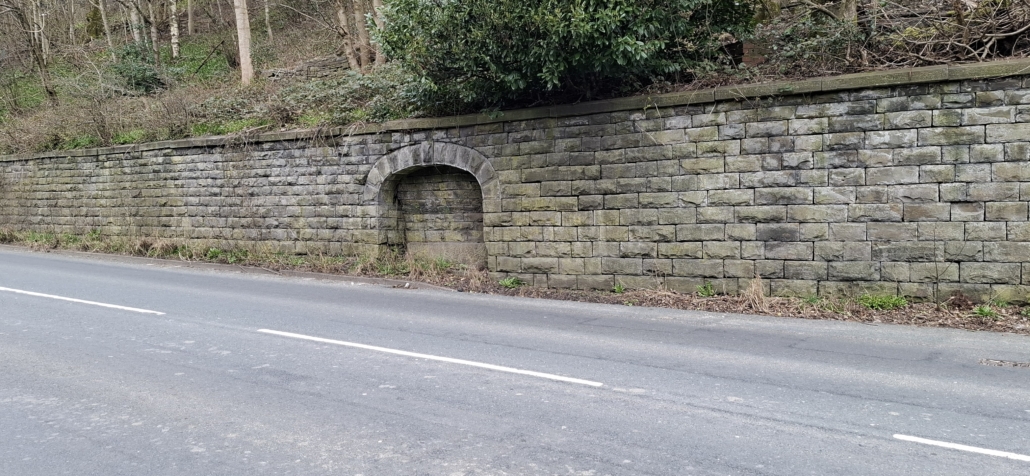
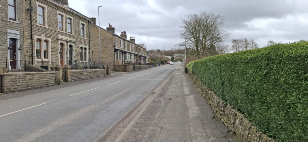
9 Site of Rockliffe TP SD 87337 22092 No Trace. This is shown on the 1839 and 1844 maps, and the one at Troughgate is not mentioned. Taken photo amphibian.drifting.essays
10 Site of  Broadclough TG SD 86768 24113 No trace – Taken photo acrobatic.haystack.dress
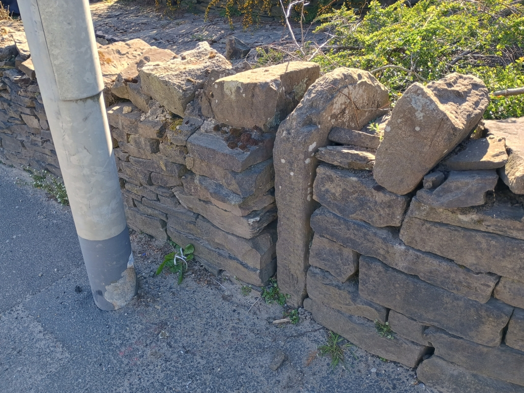
11 Milestone SD 86994 25838 The Milestone is about 22 metres from where it should be (on the 1844 map its at SD 86998 25859), and it appears to have been moved when they created the gateway on the opposite side of the road. It’s on the west side of the A671, at 90 degrees to the road, in a garden wall at 250, Burnley Road, Weir. The stone is not a small gatepost and is very different from the present walling , being similar to other older milestones, and is arched, quite wide and thick, which seems to indicate that it is the original milestone. Not able to discern any writing but it should say Bacup 5, Burnley 2. blueberry.allergy.small
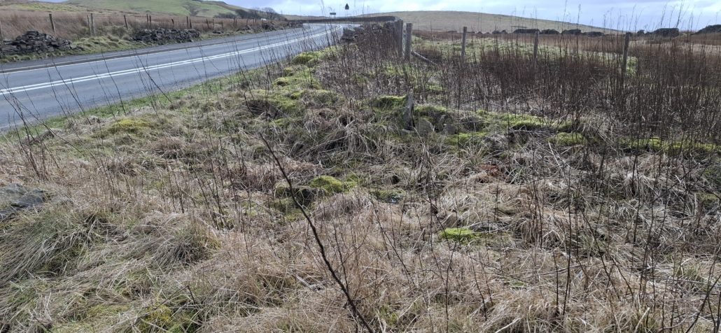
12 Deerplay Moor Toll House SD 85445 27673 Foundations and footings still present and easily decerned guesswork.bypassed.scam